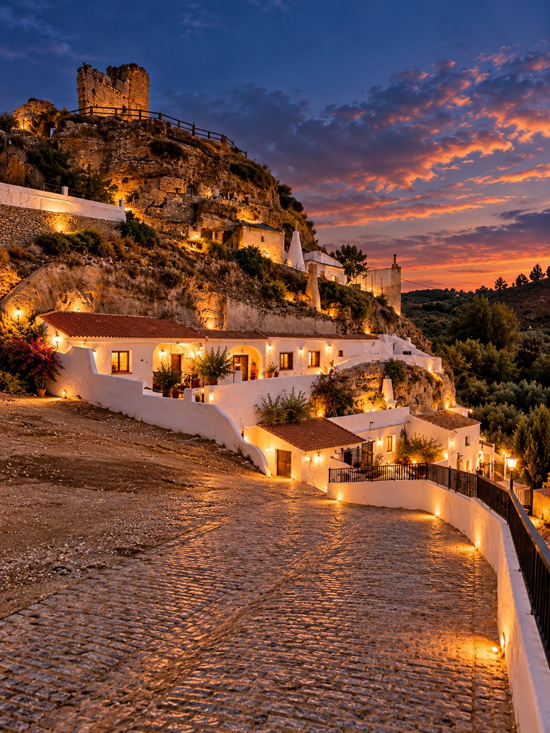
Freila · Castillo & Torre del Maruq
Nasrid castle (13th–15th c.), the Torre del Maruq lookout and cave neighbourhoods.
Freila · Granada · Andalusia
A white village of cave houses above a turquoise lake, in the heart of the Granada UNESCO Global Geopark. Here is what to see, walk and taste around NUBE.
Freila sits on a hillside of the Altiplano de Granada, in the Baza area, at around 800 metres above sea level. Its castle dates from the Nasrid period (13th–15th centuries) and is the village’s most emblematic monument: a tower, two curtain walls, a cistern and a stretch of parapet still stand above the houses. In the 14th century Freila was part of the inner defensive line of the Nasrid Kingdom of Granada around Baza.
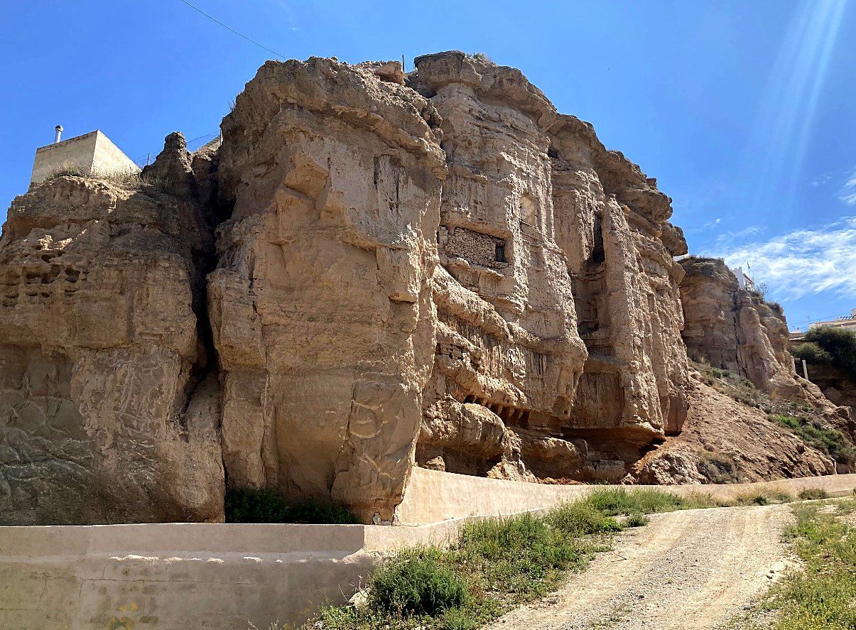
Around the castle, whole neighbourhoods are dug into the soft clay of the hill. Cave houses keep a steady temperature all year, cool in summer and mild in winter, which is why they have been lived in here for generations. The one-storey inner caves are the oldest; the whitewashed façades added in front came later.
With just over a thousand inhabitants, Freila has kept the rhythm of a farming village: the Monday market on the church square, the Romería de San Marcos and the August fiesta of Nuestra Señora de los Dolores. It is Andalusia without the crowds of the coast and the big cities.
In July 2020 UNESCO recognised the Granada Geopark as a UNESCO Global Geopark. It covers 4,722 km² and 47 municipalities of the Guadix, Baza and Huéscar districts, Freila among them.
A UNESCO Global Geopark is a territory whose geological heritage is of international importance and is managed for conservation, education and sustainable tourism. It is not the same as a World Heritage listing: Freila itself is not a World Heritage site; it lies inside a UNESCO Global Geopark.
The Geopark sits on the Guadix-Baza basin, filled with several hundred metres of continental sediments. When a river captured the basin about half a million years ago, erosion began to carve the landscape you see today: badlands, ravines and red, ochre and white cliffs that dominate the whole territory.
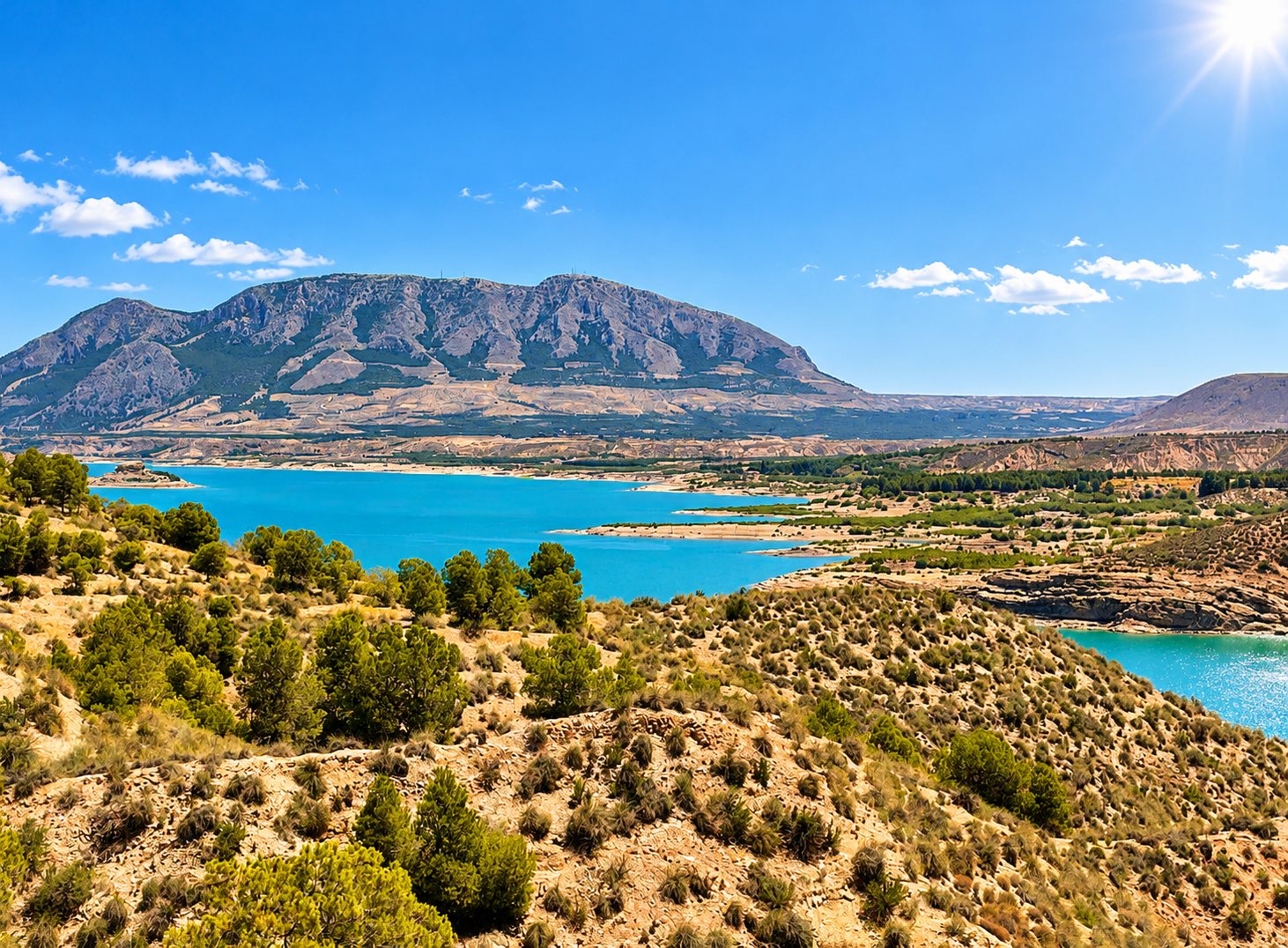
Below Freila stretches the Embalse del Negratín, one of the largest reservoirs in Andalusia, about 20 km long. Turquoise water against eroded clay cliffs: at sunrise and sunset the colours change from minute to minute, a gift for photographers.
On the Freila bank, Playa de Freila is an inland beach about 300 metres long with a gentle concrete slope; the first 10–15 metres are shallow. A restaurant, a campsite, a car park and a playground are within 50 metres. Fishing and water sports are allowed in designated areas.
Swimming and water-sport rentals depend on the season, water levels and local rules: check on site before you go.
The slopes of the Negratín are cut into cárcavas, the clay gullies listed as a geological site of the Geopark. Further west, around Gorafe, the landscape becomes a true desert: Los Coloraos, a maze of red, white and ochre badlands and deep ravines.
Gorafe also guards about 240 dolmens spread over 10 necropolises, presented as the largest group of prehistoric burial monuments in Spain. Many viewpoints are reached by dirt tracks: in rainy weather they can be muddy, and some are not suitable for low cars.
Nasrid castle (13th–15th c.), the Torre del Maruq lookout and cave neighbourhoods.
Inland beach on the reservoir, shallow at first, with restaurant and campsite nearby.
Natural thermal waters on the shore of the Negratín, known since Roman times. Check current access.
Cave-house village on the north side of the reservoir, close to the Negratín dam.
Isolated limestone mountain, 1,494 m, with a church and antennas on top and views over the whole Altiplano. Paragliders launch from here.
About 240 dolmens in 10 necropolises, and the red badlands of Los Coloraos. Dirt tracks.
Hanging walkway over the river from the village centre, and the Peña de Castril.
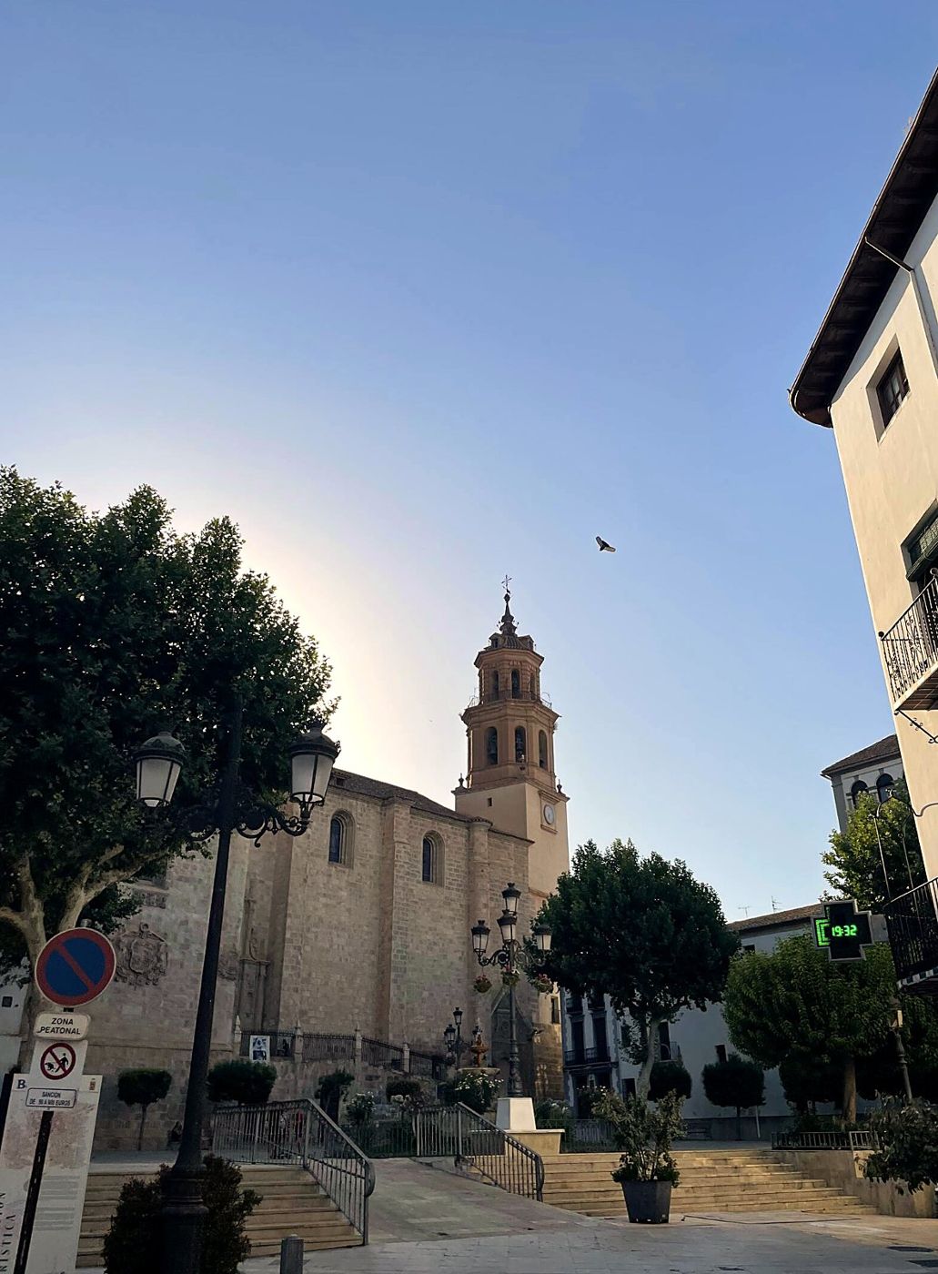
13th-century Almohad baths, among the best preserved in Spain. Free entry, limited to 30 people; usually Wed–Sun.
One of Europe’s largest cave quarters, a cave interpretation centre and the cathedral.
Castellón Alto, an Argaric Bronze Age settlement (about 4,000 years old) on terraces, and the Iberian necropolis of Tútugi.
Venta Micena, Barranco León and Fuente Nueva: sites with some of the oldest human traces in Europe (about 1.2–1.4 million years).
The Alhambra and the Albaicín. Book Alhambra tickets well in advance.
Road distances and times are indicative (OpenStreetMap routing). Opening hours and access can change: always check before you go.
Bring water and a hat in summer; the castle path is steep.
Check the tracks after rain; a high car is more comfortable.
Check opening hours of the centre and the cathedral.
Baza baths: free, 30 people at a time, closed Mon–Tue in summer. Check the other sites.
Not for people with vertigo; wear walking shoes.
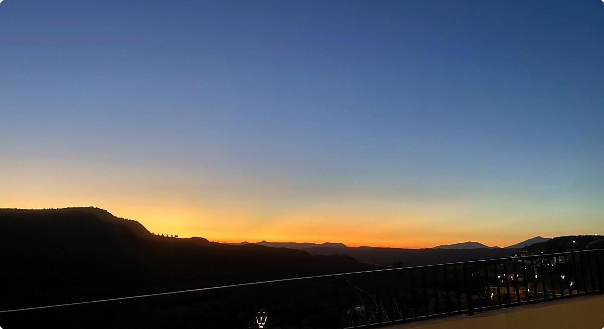
Best light: one hour after sunrise and before sunset.
Eat & shop
Information checked in October 2026 on the official and reference sources below.